St. Louis Map Print, Home or office Decor
Desertcart purchases this item on your behalf and handles shipping, customs, and support to Kenya.
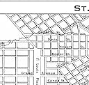
Description
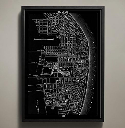
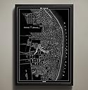
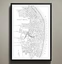
In 1856 the city of St. Louis, Missouri was entering the Victorian age in a burst of steam and framed by iron rails. This particular map poster reintroduces you to this vibrant time in America's history by detailing the cityscape as it stood in that year. As the city grew with the industries of iron, steam boating, and railways the city slowly spread out into the conglomeration of streets, bridges, and byways that you see displayed on this vintage map reproduction. The purchase of this listing is for one detailed map poster of the city of Saint Louis and the following options and specifics: Style: Map of St. Louis, Missouri (Circa 1856) Sizes available: 18 x 24, 24 x 36 or 36 x 48 inches Colors available: Black or white Materials: 100# premium card stock Your St. Louis poster will be shipped to you in a durable shipping tube courtesy of USPS First Class however the purchase of this listing does not include the frame pictured above in the sample photographs. You can return to the GeoArtShed shop home to find more Missouri art, St. Louis maps, or city map posters by following this link: https://www.amazon.com/s?me=A3GWO89D03K6U0&merchant=A3GWO89D03K6U0&qid=1470112952 © Copyright 2013 GeoArtShed. Artwork may not be reproduced or resold.
Common Questions
Trustpilot